The gentle drone
Not all un-manned aircraft are prowling military predators. Drones can also be deployed to chart ice fields and pollution, or locate people who’ve fallen overboard from ships.
Denne artikkelen er over ti år gammel og kan inneholde utdatert informasjon.
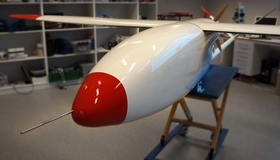
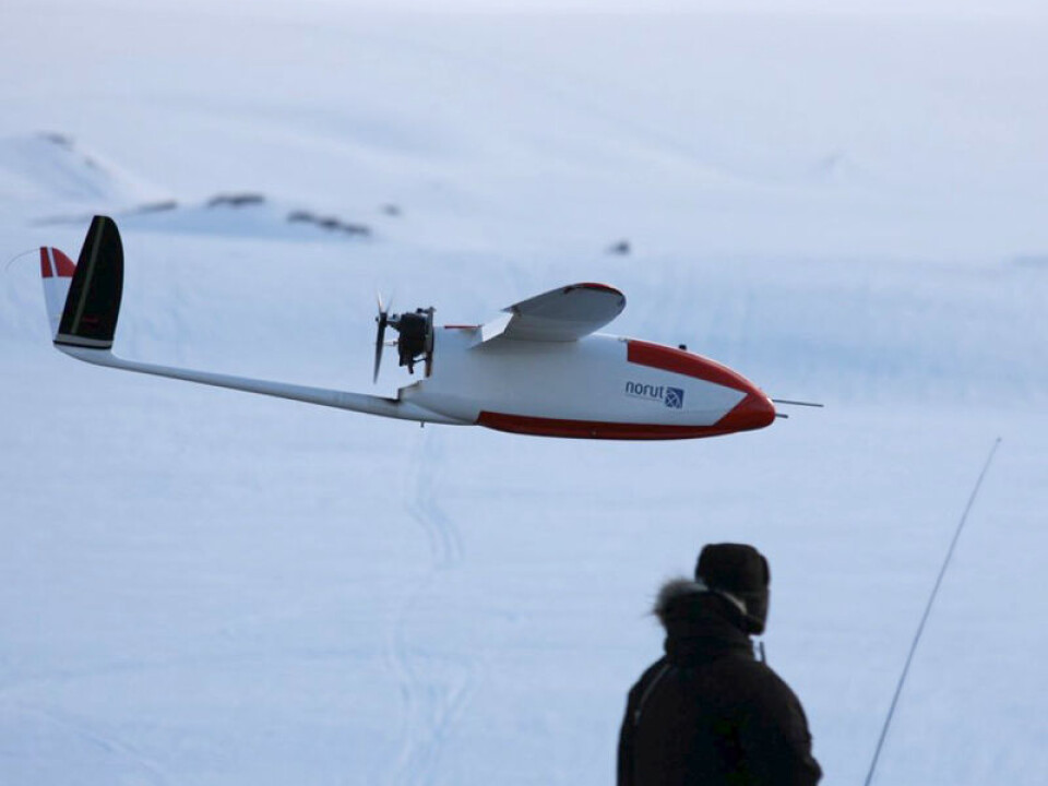
The Northern Research Institute (Norut) has a model airplane enthusiast’s ultimate dream in its laboratory. It has an elegant, streamlined fuselage and a 5.2-metre wingspan.
“This is a CryoWing Mark II,” says Rune Storvold, gliding his palm across the shiny polished fibreglass surface. He heads up a department for unmanned aircraft.
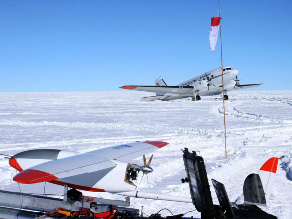
This bird hasn’t left its nest yet. But once it gets fresh polar air under its wings, its propeller can power it on a roundtrip of 2,300 km. The CryoWing could navigate the entire flight by itself using a pre-programmed course and a GPS system.
Nevertheless, it won’t be seen in the skies above the big cities. The drone will be sent north, over vast stretches of ice.
Polar bird
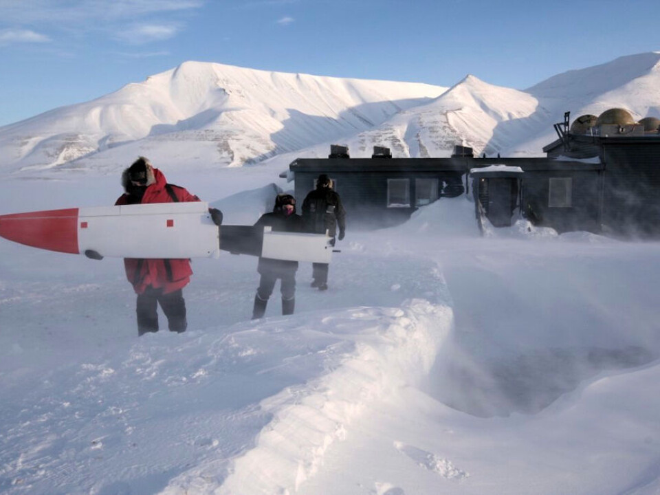
CryoWing will be charting ocean ice in the Arctic.
“We’ll be monitoring ponds of meltwater on the ice to see how these catch solar energy and contribute to further melting,” explains Storvold.
Cryo is a Greek word for icy cold, and CryoWing has lived up to its name. An older and smaller version of the plane was used during the International Polar Year 2007-2008.
CryoWing has also flown over Svalbard, Greenland and Antarctica. It was entered in major international research projects and monitored everything from glacial flows to soot particles in the ice and air pollution.
An all-rounder
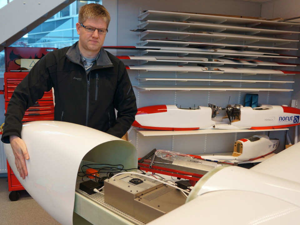
Storvold removes the cover on the forward section of the fuselage. There’s room here for 15 kg of instruments.
“CryoWing is a flying platform that can be used for all sorts of missions,” he says.
A digital camera can transmit images of power lines, make 3D maps or monitor maritime traffic, oil operations or, for instance, populations of seals, reindeer or polar bears.
A spectrometer can spot algae blooms, air pollution or changes in vegetation on land. A radar system can create accurate relief maps or detect the calming of waters caused by oil spills.
Cheap alternative to risky missions
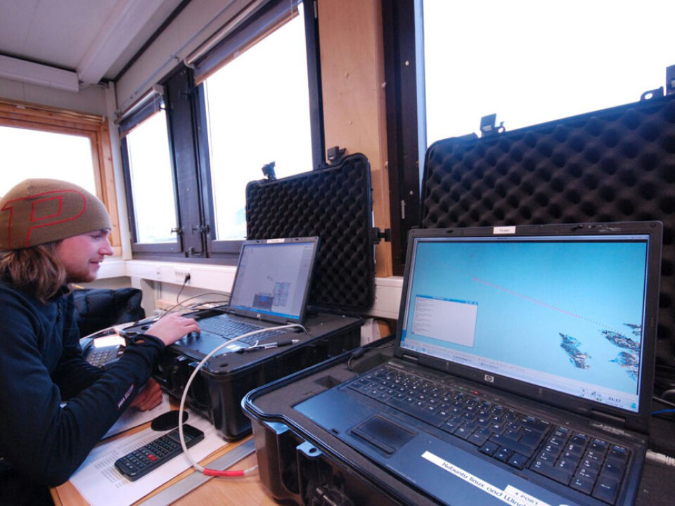
Just like its combative cousins in Afghanistan, the CryoWing drone can also be used in missions deemed too dangerous, too monotonous or too costly for a normal-piloted aircraft.
After the Eyjafjallajökull eruption in Iceland in 2010, Technical Director Fred Prata at the Norwegian Institute for Air Research developed the ash detector AVOID, which has been mounted on an Airbus passenger aircraft procured by EasyJet.
This enables the jets to spot clouds of volcanic ash 100 kilometres ahead and navigate around them.
According to Storvold, mounting ash cameras like AVOID on new aircraft could be profitable. But refitting older planes with them can be costly, due to the required certification procedures. So he and his colleagues think an answer would be to fly AVOID on a fleet of drones like CryoWing.
“Drones could be sent up and flown into ash clouds near a volcano where no manned aircraft would be permitted to fly,” says Storvold.
Measurements made by drones could then be linked with satellite data to give relatively cheap and more reliable ash alerts.
First in the air, then in space
CryoWing can also be used to test instruments designed for use in space.
“In the course of the year we’ll be testing instruments intended for the satellite CoReH2O, which could be launched in three or four years,” says Storvold.
This radar will chart snow and ice on glaciers as well as surface water, to make better models of the water cycle in high latitudes.
Storvold explains that an inexpensive test of the monitoring principles on board a CryoWing will help ensure that satellites can make the measurements expected of them.
Peaceful and low-budget
Although the CryoWing Mark II is larger than its predecessor, it’s still dwarfed by big military drones like the Northrop Grumman RQ-40 Global Hawk, which has a wingspan of nearly 15 metres.
Then again, a Global Hawk costs around 1,500 times as much as a CryoWing, which goes for €54,000. And a CryoWing isn’t that much of a weakling when compared to its military kin.
Drones could be sent up and flown into ash clouds near a volcano where no manned aircraft would be permitted to fly.
Rune Storvold
“There are no major differences between a CryoWing and military drones of comparable size,” says Storvold. But no military plans are under wraps for this one. It will continue to fly for science.
Spotting a man overboard
The researchers are also making plans for a much smaller drone that could save lives.
It will be a drone built as cheaply as possible, out of polystyrene. It could be part of the rescue equipment on offshore oil platforms, supply ships or for that matter, cruise ships and ferries.
“If someone falls overboard, every second counts. The drone could be launched quickly and, using an infrared camera, it could detect the heat radiated by a person in the water, even in rough seas,” says the researcher.
Such instruments could be far costlier than the drone itself. The challenge would be to make it easy to use in a hectic emergency situation.
Airy bureaucracy
Another challenge will be to simplify the aviation rules for flying drones.
Currently a special permission is required from the Civil Aviation Authority-Norway for every flight, because these have to be announced along with other routine information and alerts to aircraft.
The bureaucracy gets more complicated because the air space sectors in the high North areas squeeze together along with the lines of longitude on the globe. A single flight can easily come under the jurisdiction of several different countries.
The US Congress has recently instructed the American aviation authorities to reach a solution for unmanned research drones in the arctic within a year.
“We hope the regulations can be streamlined to make it easier for us to collect data in these vital regions,” concludes Storvold.
----------------------------------------------------
Read this article in Norwegian at forskning.no
Translated by: Glenn Ostling


