This article was produced and financed by Institute of Marine Research

Spotting suitable space for aquaculture
A new spatial information system helps farmers find the best locations for shellfish production in Normandy.
Denne artikkelen er over ti år gammel og kan inneholde utdatert informasjon.
Aquaculture – shellfish, seaweed and fish – represents one half of the global marine production for human consumption.
Even though Europe is in lead when it comes to aquaculture knowledge and technology, Asia is by far the main producer. In order to catch up, the European aquaculture industry has to sort out spatial issues along busy coastal areas such as the French and Norwegian.
A new spatial information system will do exactly that.
Though competition for space
The system is developed within the French-Norwegian project SISQUONOR.
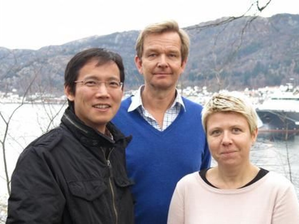
"Some adjusting remains before the information system is operational in Normandy, but SISAQUA is definitely a big leap in the right direction," says researcher Øivind Strand from The Institute of Marine Research (IMR), project leader for the Norwegian part of the SISQUONOR project.
"France and Norway face some of the same challenges along our coasts. The competition for space is though and the natural conditions can be demanding. The industry also has to meet high environmental standards and adjust to climate changes. Use of advanced interactive maps such as the SISAQUA will be important tools in future spatial planning for aquaculture," explains Øivind Strand.
An efficient and operational tool
SISAQUA connects with several relevant data bases, and this makes the tool both efficient and accurate, says Aline Gangnery. She is researcher at IFREMER, and is in charge of the French part of the project.
"We have integrated data bases for temperature, chlorophyll, depths, currents etc., and the map also shows existing farms, ports and marine protected areas. Rates for mussel and oyster growth and other biological conditions are shown as the user choose different locations along the coast," says Aline Gangnery.
The two marine research institutes provide data, knowledge and models as input for the system, while Christian Michelsen Research (CMR) is developing the program.
"In SISAQUA we use reliable solutions we have developed for sectors such as the petrol industry, where these tools already are well established," says Junyong You, scientist at CMR.
EU calls for knowledge
As much as 90 percent of the world’s aquaculture production is taking place in Asia. EU recognizes that Europe keeps falling behind, and calls for more knowledge in the field. The partners from SISQUONOR have just landed an EU project starting next year. The three year long project AQUASPACE includes 22 leading marine research institutions mainly in Europe, but China, Australia, Canada and the US are also represented.
"The main objective is to develop a kind of spatial tool box for aquaculture managers and decision makers. In AQUASPACE we can benefit from almost 15 years of cooperation on these issues and the results we have achieved with SISAQUA," says Øivind Strand.
The system is developed within the French-Norwegian project SISQUONOR. The key success factors are strong networks; common understanding and complementing knowledge between the two cooperating countries.