THIS ARTICLE/PRESS RELEASE IS PAID FOR AND PRESENTED BY NTNU Norwegian University of Science and Technology - read more
Observing Arctic marine life — from the seabed to space
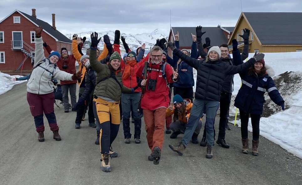
NTNU researchers from AMOS, the Centre for Autonomous Marine Operations and Systems, used small satellites and subsea robots — and everything in between — to study marine life in Svalbard’s Kongsfjorden in a first-ever experiment in May.
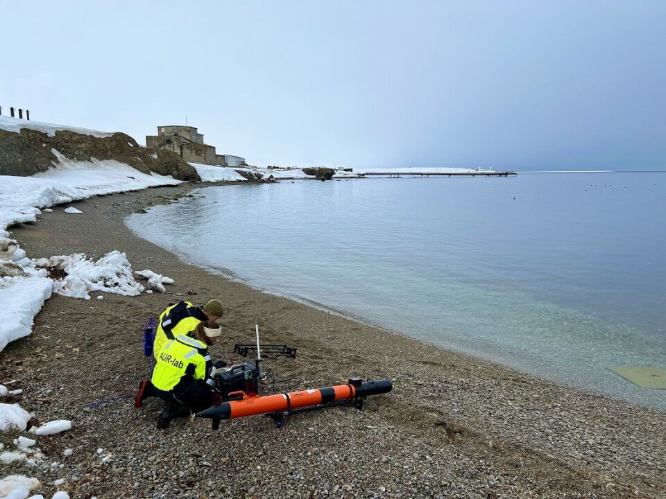
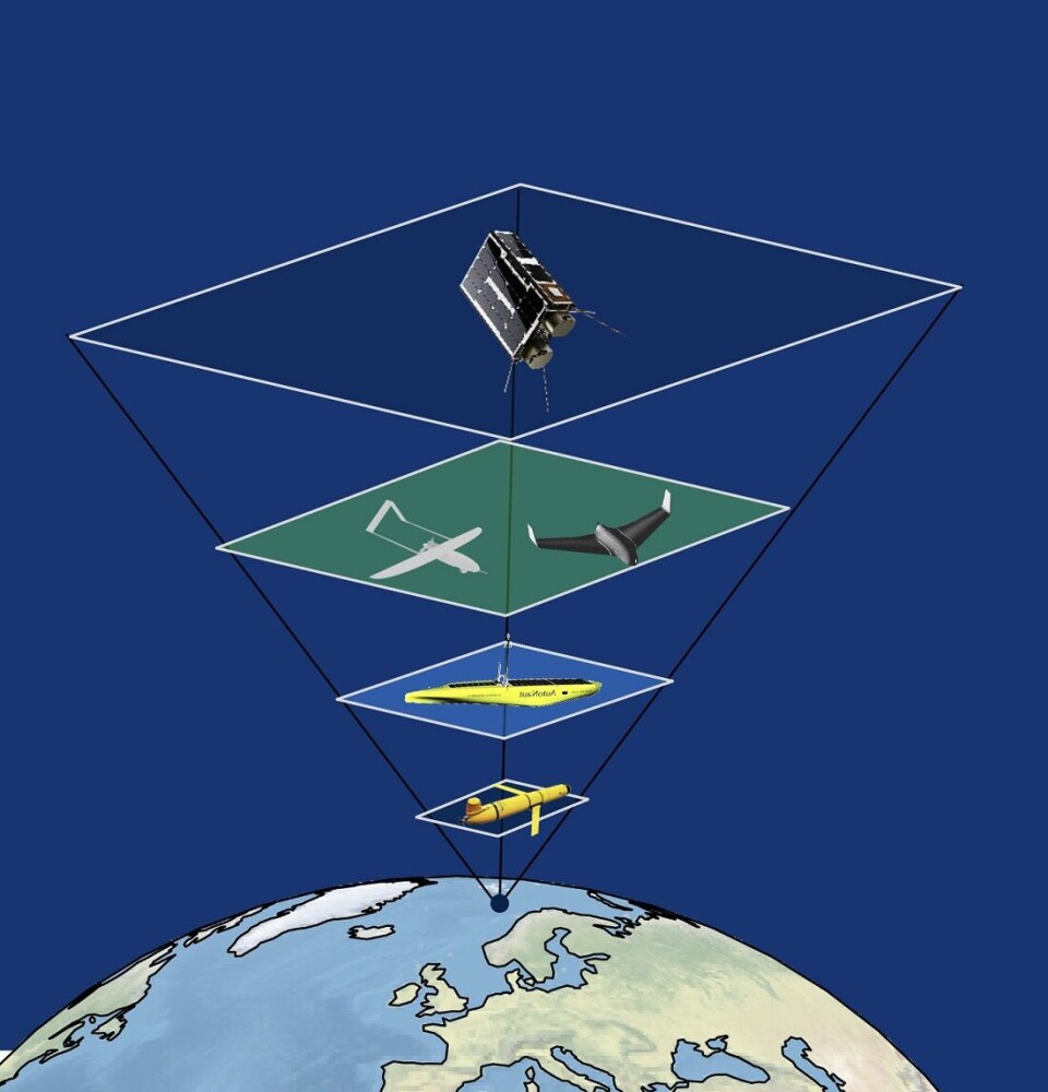
In late May, NTNU researchers and students used a small satellite, an unmanned aerial vehicle, two unmanned boats and subsea robots to survey the same area simultaneously. This is an approach called an observational pyramid.
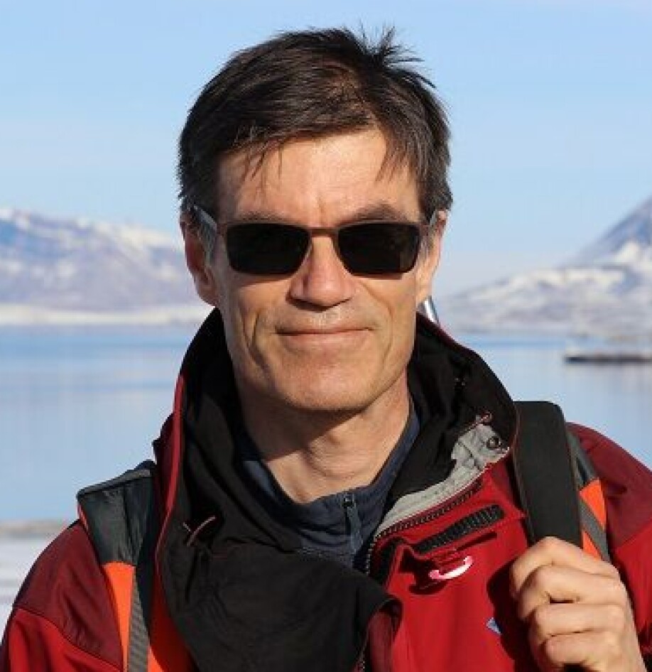
The Arctic is both an interesting and important area from which to observe climate change. At this latitude, temperature and ecosystem changes are evident sooner and clearer than in more temperate areas. For Professor Geir Johnsen, one of the critical questions to ask — and answer — is what is happening to phytoplankton, which form the base of the food web.
“Are they growing? Are they in good shape? Are they dying? Are they in rave party mode?” he wants to know.
Environmental monitoring
The approach the researchers have used, the observational pyramid, can be used to survey normal and harmful algal blooms and the kinds of changes global warming is causing in the ocean in a more continuous way.
“This concept can be developed and streamlined, especially when it comes to faster data interpretation. We have worked with biologists to customise this approach, according to what they need, but it can be used for other purposes as well,” says Asgeir J. Sørensen, a professor of marine cybernetics and Director of NTNU AMOS.
One driver for this development is the long collaboration with Equinor to develop methods and technologies to monitor the offshore oil and gas environment, as well as offshore renewable energy systems.
Sørensen pointed out that the aquaculture industry can also benefit from more effective and automated ways of monitoring and surveying fish welfare conditions, and the environment near the fish pens.
This technology can also be used to learn more about freshwater systems in Norway, such as the national efforts to monitor the environmental health of Mjøsa Lake, Norway’s largest.
An automated coast guard
Imagine an automated coast guard beneath the ocean surface that monitors ocean health and traffic in the ocean space. That’s essentially what this approach offers, the researchers say.
Hyperspectral maps and aerial drones combined with unmanned surface vehicles and subsea drones can be used at the same time to collect more data over a shorter time frame.
“This will give us more knowledge and a better understanding of what is going on in the ocean,” Sørensen says.
A number of master’s students, PhD candidates and postdocs participated in the experiment.
“This could lead to new industries, value creation and new workplaces in Norway in the near future,” Sørensen says.
The first test of the observational pyramid was done in close collaboration between the University of Tromsø and UNIS –the University Centre in Svalbard and several departments at NTNU. This research is also part of the Nansen Legacy project. Researchers from both the US and Australia came to Ny-Ålesund to see the observational pyramid in action.


———
Read the Norwegian version of this article at forskning.no

See more content from NTNU:
-
New findings about the evolution of the brain: "I was blown away. My first reaction was, is this real?
-
Researchers are surprised that these chemicals have skyrocketed in Svalbard
-
Why some people can’t stop pulling out their hair or picking their skin
-
Can Europe create AI that we actually understand?
-
Doctors and nurses believe their own substance use affects patients
-
When the offshore wind turbines fall silent: What happens to the waste?


