This article is produced and financed by University of Oslo - read more
DNA analysis of soil can be used to map nature types
UiO researchers have shown that nature types on land can be mapped by analyzing their residual DNA in soil samples. This new method can detect plant species overlooked by even the best field biologists.
Forest owners, developers, municipalities, and counties must map nature types before they start harvesting or development projects to ensure that endangered species and habitats are not destroyed. This mapping is currently based upon manual field work, which is both time-consuming and expensive. However, scientists at the University of Oslo are developing new methods that could revolutionize the way plants and nature types are mapped.
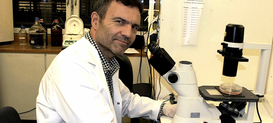
«As far as I know, we are the first to show that «environmental DNA metabarcoding» can be used to map nature types on land. This method has not yet been fully developed to the point that it can be practically used. But in a few years, it may be possible to map plant species and nature types by taking small soil samples that are analyzed in the field in a small machine the size of a Gameboy,» predicts Mari Engelstad at the Natural History Museum.
Today, much of the mapping in Norway takes place according to the Nature in Norway (NiN) system, a system in continuous development. The current method is based upon biologists going out into the field and identifying the plants that are present in an area. They compare this with available information about which ecological factors are important in the area, and in this way determine the type of nature that is present.
«We cannot avoid the fact that mapping by humans is subjective to some extent. The mappers may for instance have different backgrounds or knowledge of the species and the area they are mapping,» Engelstad points out.
Objective and effective techniques
It is not easy to map nature types and detect endangered species. According to the Norwegian Biodiversity Information Centre, there are approximately 44,000 known species of animals, plants, and fungi in Norway. If we include the species that are not yet known, the real number of species may be around 60,000.
There are also a wide range of nature types in Norway, and all nature types have species that are characteristic to them. Many of these species can however be difficult to find. There is a separate red list of nature types that are at risk of being lost in Norway, such as meadows, coastal spruce forests, temperate deciduous forests, and permafrost mires.
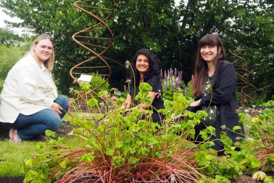
Mari Engelstad has recently completed her master’s degree with the Natural History Museum, under the supervision of Maria Ariza Salazar, Eva Lieungh and Hugo de Boer. The mapping method they describe has the potential to be significantly more accurate than traditional mapping, since in principle it can find all plant species that live in an area, even if they are not currently visible or are difficult to detect. Even the most experienced field biologists can risk overlooking, for example, a rare and endangered orchid, if it does not bloom precisely on the day that the field work takes place.
«I was involved in such fieldwork myself during my Masters, and I was not confident that I had a complete overview of all the red-listed species I should be looking for. By comparison, metabarcoding is an objective and effective technique for finding species,» states Eva Lieungh.
Nature types must be mapped
Every summer, the Norwegian Environment Agency sends out approximately 100 field workers to map Norwegian nature, and by the end of 2020, the Agency will have managed to map approximately 5500 square kilometers (km2) of land in Norway. While this is more than the sum of all built-up areas in Norway, it still only amounts to approximately 1.5 per cent of Norway’s total land area.
In addition to the Norwegian Environment Agency’s mapping, which focuses on areas with high developmental pressure, there is also mapping in advance of specific developmental projects. Anyway, there is a considerable amount of nature that has not yet been mapped, and a great need for new and more effective methods.
Similar to a reference library
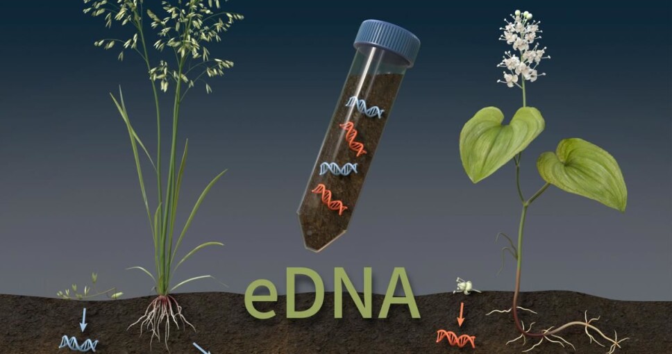
The starting point for a method that uses metabarcoding is that all plants that grow in an area may shed DNA fragments that can be found in the upper part of the soil. For instance, trees lose leaves, and the plants on the ground wither in the fall. A relatively small soil sample will therefore contain DNA residues that can be used to identify nearby plant species.
«It is not necessary to analyze complete DNA genomes when mapping plant communities using this method. Instead, we look for short DNA fragments that are sufficiently variable for us to identify lineages. Such fragments can for example be found in the plant chloroplasts. You can then search for this DNA ‘barcode’ in a DNA library to determine the plant species from which the DNA originates,» says Maria Ariza Salazar.
Salazar is also part of the international project Plant.ID, which focuses on finding biomolecules that can be used for identification. The researchers in that project have previously found, among other things, that many herbal products do not contain what is stated on the label (more details on this can be found in this article).
Many Norwegian plant DNA sequences are already well-documented. This allowed Engelstad to compare the DNA fragments she found in the soil samples with a reference library mainly developed at the University of Tromsø – which functions as the Norwegian node of The International Barcode of Life (IBOL) for flowering plants.
«The DNA library in Tromsø has the most barcode data on species in the Arctic-boreal region, but it was also possible to use when analyzing more southern plant communities,» says Engelstad.
«It is a huge advantage that the Norwegian flora is already very well documented. This is not the case in many countries,» adds Eva Lieungh.
The system for DNA reference libraries is also undergoing rapid development, both in Norway and internationally. The goal of IBOL is to develop a reference library that contains information on the DNA sequences for identifying all species on Earth. The Norwegian part of the project is called NorBOL, and is a network of Norwegian researchers and research institutions that work on DNA barcoding of all living organisms in Norway.
DNA metabarcoding is becoming a competitive method
The three UiO researchers describe the barcode method as easy to use, though currently expensive. However, the cost of analyzing DNA is rapidly decreasing as the development of methods for analyzing DNA continues to progress.
«These methods will be cheaper with each passing year. Field work on the other hand, will always be expensive, so it is not difficult to predict that this method will soon be competitive on price as well,» Lieungh points out.
«Additionally, DNA-based methods offer many other benefits. Field mapping must be done in the summer while the plants are visible and can be identified, while the soil samples can be taken at any time so long as there is no snow or frost in the ground,» Ariza Salazar adds.
Another advantage is that soil samples contain DNA from plant species that are not visible at the time when the samples were taken. Engelstad proved this when comparing a morphological vegetation analysis with the results of the DNA analysis method. She found many more species in the soil sample than were visible above the ground.
Further method development is still required
The researchers at the Natural History Museum are still developing the method that Engelstad used for her research for the detection of environmental DNA.
«Among other things, I found that mosses were not well-mapped with this method yet. We believe this will improve over time. The method additionally was not good for identifying fungi, though we also believe this will improve with future development.»
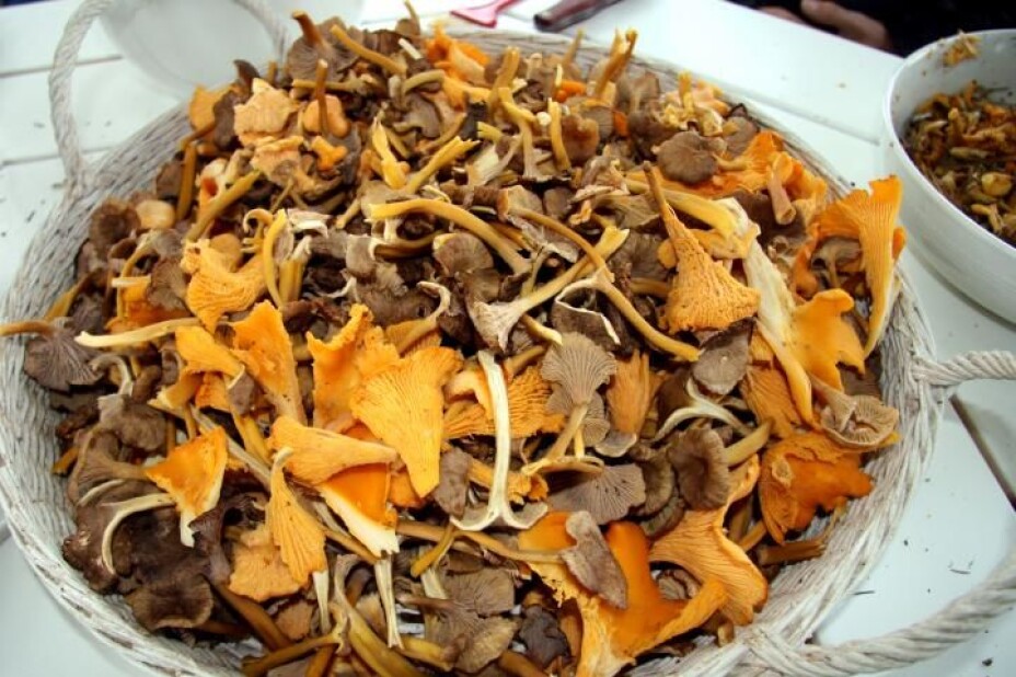
DNA metabarcoding can obviously surpass what can be achieved by expert field biologists when it comes to identifying fungi. Mushrooms are very difficult to map with traditional fieldwork, because they can live underground and be invisible for years. After all, what most people call ‘mushrooms’ are only the fruiting bodies, which are visible for only a few days, whereas soil contains DNA from these fungi year-round, Lieungh points out.
The three researchers agree that there are many considerations when collecting soil samples from a plant community. For example, they may find DNA remnants in the upper soil layer of plants that grew there as long as 50 years ago. But that can also be considered an advantage, as the soil sample contains historical information on vegetation.
«When we take a soil sample, we may also find residual DNA from plants that grow some distance from the site where the sample is taken. For example, if you take a sample on a slope, you might also find DNA from species that live further up the slope. We need to develop a methodology that describes how the soil samples should be taken. Probably the best way to do this is to take soil samples at regular intervals in a grid network,» Ariza Salazar suggests. She is currently researching and developing this very topic.
Field biologists will not become unemployed
«Is it possible that this method will replace field biologists in the future?»
«No, I don’t think so. I think instead that field biologists and taxonomic experts will use their skills to build and develop databases and reference libraries. The collection of soil samples can then be left to people with slightly less taxonomic expertise. This combination will obviously be less resource intensive than today’s current model for field work,» Engelstad replies.
Field work is not the only method used for nature mapping today. Remote sensing with satellite and aerial photos is considered to be the most cost-effective method but cannot always be used. Municipalities, developers, and conservationists for example do not benefit much from remote sensing when they need detailed information about nature types and species on the ground.
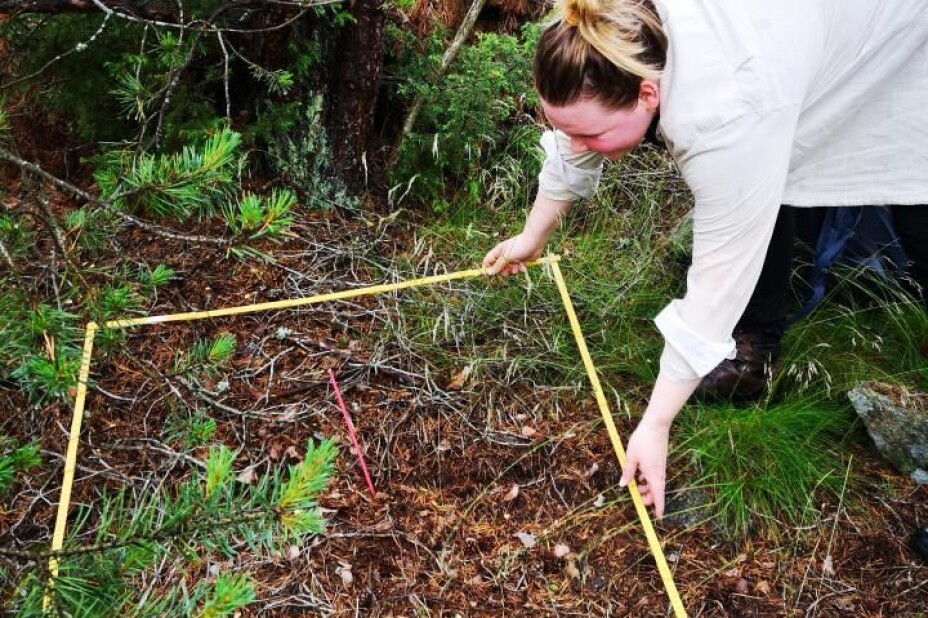
Mari Elisabeth Engelstad was out in the field twice: first to take soil samples, and then to do the vegetation analyses.
«Vegetation analyses were done to compare what we found above and below the ground. The soil samples were taken by removing litter, such as felled leaves, from a small area - to reach the soil. Then we hammered a plastic tube into the soil. We pulled the filled tube up, put on a lid, marked it, and put it in an individual zip-lock bag to prevent contamination,» Engelstad explains. These samples were then used to analyze the presence of environmental DNA.
«If remote sensing can be used in combination with species determination from environmental DNA, one might be able to map nature types at larger scales. It would require more technical and methodological development before this is feasible in practice. The methods we have been developing here are just a taste of what may be possible in the future,» Engelstad concludes.