An article from NIVA - Norwegian Institute for Water Research
Researchers use drones to photograph seaweeds: The tidal zone from a bird’s-eye view
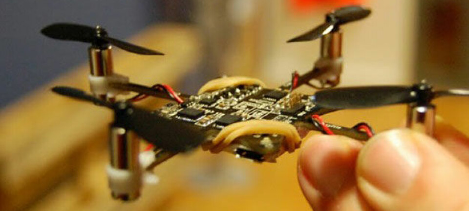
Drones are the future for nature mapping and monitoring. They provide 1,000 times better image resolution than satellites and one million times more data points, says Kasper Hancke, marine biologist at Norwegian Institute for Water Research (NIVA).
It is a surprisingly nice and calm summer day at Søre Sunnmøre, by the outermost islands of Western Norway.
While off-piste adventurers are still skiing on the very last summer snow further in the fjords, the kayak season has already started out here, in a silent bay close to Fosnavåg. But it is not all peaceful. A buzzing noise is heard from above; a massive drone is flying systematically along the shoreline.
By the shore, a man is standing knee-deep in seaweed, holding a rack taller than himself.
With a drone for the first time
The man is marine biologist Kasper Hancke from the Norwegian Institute for Water Research (NIVA). He is here to photograph a section of nature that most of us don’t usually see – the zone between the low and high tide.
"Usually, when we are mapping the tidal zone, we do the registration manually: Spiral wrack, bladder wrack, knotted wrack, toothed wrack, and so on. But for the first time we are trying to take pictures from above instead," says Hancke.
"When the drone flies 100 metres above the ground, it takes pictures with a 3 x 3 centimetre resolution. This offers 1,000 times better image resolution, or one million times more data points, than satellite images, which often have a 30 x 30 metre resolution," he says.
Hancke thinks that drones are the future for mapping and monitoring of nature and natural resources.
Machine learning and finger prints
Now, as the winter storms are approaching Fosnavåg, Hancke is safely back in his office in Oslo and has started the process of analysing the drone images. The software he applies uses so-called machine learning; it recognises patterns in the picture, enabling it to categorise the different elements of the picture. From this, the program calculates how much of each type of seaweed there is in the area they have photographed.
"Each family of seaweed has its own colour signature, which the software recognises. This is due to the combination of wavelengths reflected by the different types of seaweed. Each family gets its own finger print, expressed in colours. The software recognises the seaweed’s fingerprint, and thereby categorises the elements in the picture," says Hancke.
This technique using colours to identify objects, and in this case to distinguish between different groups of seaweeds, is called multi spectral image analysis. Hancke is optimistic that future analysis involve so-called hyperspectral image analysis, which has an even higher resolution of colours. The drone photos can then be used to identify the precise amount of each single species of seaweeds, mixed kelp forests, and calculate the amount of epiphytes on the seaweed surfaces.
We have been here before
It is not the first time that NIVA scientists are balancing along the shores at Søre Sunnmøre.
One year ago, Hancke’s colleague Trine Bekkby was here to map the littoral zone for Artsdatabanken (Norwegian Biodiversity Information Centre) and the EU project EfficienSea. She found both toothed wreck, oarweed, sugar kelp, tangle, and red algae.
In June this year, she came back and continued the work one level up, in the intertidal zone. She used traditional mapping – with camera and note book. As Bekkby had already mapped the distribution of seaweeds in Søre Sunnmøre when Hancke searched for a drone testing site, it made the decision easy.
By using her seaweed registrations from Søre Sunnmøre, he can now validate the drone pictures, and improve the machine learning algorithms.
New models for mapping
The mapping project in Søre Sunnmøre has been running since 2016, and is a cooperation between researchers from NIVA, Geological Survey of Norway (NGU), and Institute of Marine Research (HI). The geological and biological data are used to develop a standard method for marine “nature types” mapping according to the classification system of Nature in Norway (NiN).
The ongoing mapping of coastal areas in Søre Sunnmøre is also part of a pilot project, Møre Pilot, under the EU project called EfficienSea. EfficienSea aims to improve the knowledge about where there are vulnerable ecosystems, so that future shipping and building of new constructions can be avoided in the most vulnerable areas.
Using the new, high-resolution seafloor maps from NGU, Bekkby and her colleagues are also working on developing new models to map nature types. Their hope is that they can use NGU’s shallow-marine geological maps together with data on the physical environment, such as temperature, salinity, wave exposure, and light, to model the different nature types along the coast.
Big potential for drones
Two rooms down from Bekkby’s office at NIVA, sits Hancke. He pictures a bright future for drone mapping, which will be a lot more efficient and cost-saving than today’s mapping methods.
Drone mapping also provides continuous observations along the shores, instead of single data points that need to be extrapolated, as they do now. In the future, Hancke also wants to use drones for taking underwater photos from the air, and not just photos of the exposed intertidal zone. Cameras that are adapted for underwater photos are not yet on the market, but NIVA has developed their own special equipment for this purpose.
"Further, drone pictures can be used to monitor the expansion of introduced species, like the pacific oyster. We are also working towards use of drones for quantification of plastics and marine litter in the coastal oceans and along the shores, and are developing automated image analysis routines," says Hancke.


