THIS CONTENT IS BROUGHT TO YOU BY NTNU Norwegian University of Science and Technology - read more
The Nansen Legacy: Uncovering the secrets of the Barents Sea
Fridtjof Nansen was an explorer and scientist. Ten research institutions have followed in his footsteps in polar regions. Their findings are now featured in a new book.
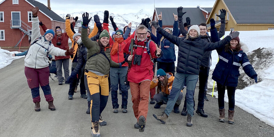
Roughly 300 researchers, students, and technicians worked together in the six-year-long national effort to investigate the Barents Sea.
In the Nansen Legacy research project, biologists, chemists, technologists, physicists, historians, and cyberneticists working side by side.
The researchers have used entirely new methods to carry out a thorough survey of the environment in the sea area.
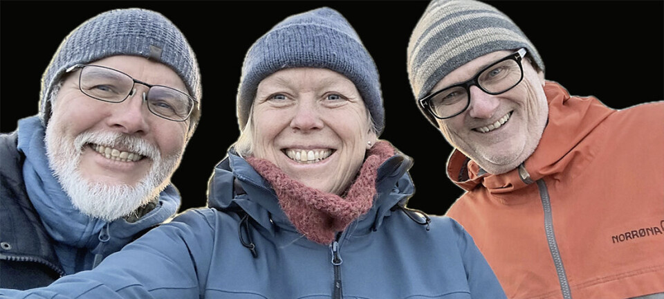
“The most important thing in this major research project is interdisciplinarity. We work closely together across disciplines, and we work well with each other,” says Geir Johnsen, professor of biology at NTNU.
The results are now compiled in the book The Barents Sea system – gateway to the changing Arctic. Johnsen is one of the book’s three editors.
The researchers hope the book will be an important contribution to knowledge-based management of the Barents Sea.
Technology and science
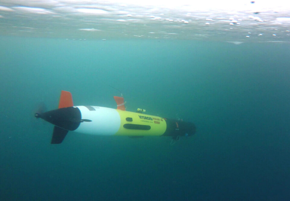
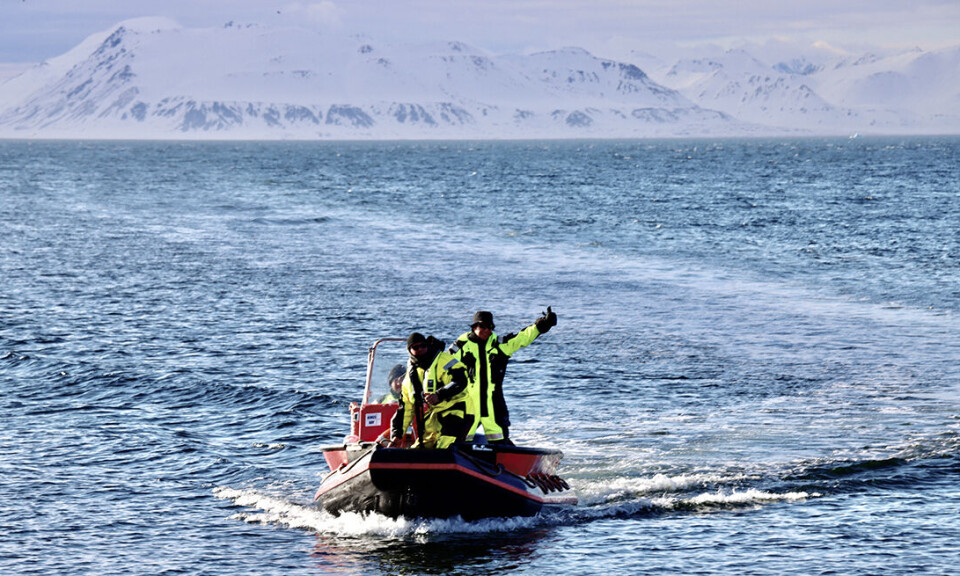
Academic communities from several faculties at NTNU have participated. One of the biggest contributions they made was in robotics. The technologies they used were deployed in the air, on the sea surface, under sea ice, in the water column, and on the seabed.
“Instrument-carrying robot platforms have made it possible to carry out scientific investigations in a very efficient way,” says Johnsen.
This includes flying drones, small satellites, autonomous boats, and underwater robots.
These could be fitted with hyperspectral cameras, which can capture very precise images of large areas. This makes it possible to see nuances in the colour of the sea surface that can help researchers assess algae blooms, for example.
The robots are also equipped with sensors and tools that can measure temperature, light, sound, and take water samples.
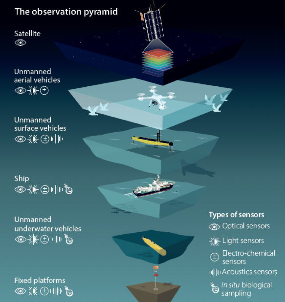
The observational pyramid
Researchers called this combination of observational tools the 'observational pyramid.' It allows researchers to scan the ocean from sky to seabed, collect water samples, and perform various tests in the same area at the same time.
“The observation pyramid looks at phenomena in time and space and collects data at many different levels. We get 100 times more information compared to only information from research vessels,” says Johnsen.
He explains that the method can be scaled up or down.
“With the help of satellites, we can map areas of several hundred thousand square kilometres. And we can also zoom in on details and examine a drop of water or a cell,” he says.
Why the Barents Sea?
The Barents Sea contains many mysteries and unanswered questions, yet it is a critical area for marine resources, geopolitics, and shipping.
The Arctic is becoming increasingly ice-free, with the Barents Sea showing the most significant sea ice melt and the largest temperature increases.
That makes the Barents Sea an important place for tracking environmental trends and climate change.
The researchers have studied the past and present climate and ecosystem of the Barents Sea. This data helps researchers make better predictions about future changes and provides key information for managing resources in the best way possible.
“Other sea areas in the Arctic are likely to experience similar changes as we are seeing in the Barents Sea now. This knowledge base and the book will be an important resource for understanding changes that are taking place in the ocean,” says Johnsen.
Rich in life
The Arctic Ocean, of which the Barents Sea is a part, is the smallest, shallowest, and northernmost of the world's five oceans.
Even though the water is quite cold, it is rich in life. Microorganisms are an important food source for the rich fish stocks that live here.
The new book provides a comprehensive overview of the interconnected elements in the Barents Sea.
Fridtjof Nansen
The research project is named the Nansen Legacy for several reasons.
Both as a polar explorer and as a scientist, Fridtjof Nansen was interested in marine life and conditions in polar regions.
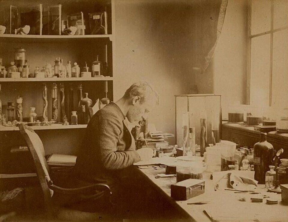
He studied zoology and wrote a doctorate on the nervous system of the Atlantic hagfish. His dissertation was an important contribution to early neuroscience.
When Nansen received his doctorate, he was employed as a conservator at Bergen Museum, where he classified marine samples of plants and animals from the Norwegian North Sea Expedition of 1876–78.
Here he also had the opportunity to join the seal hunting ship DS Viking to the Arctic Ocean and Greenland, where he had his first Arctic experience.
In 1893, Fridtjof Nansen embarked on the great polar voyage with the ship Fram. The goal was to find the Northeast Passage. The three-year-long expedition made many scientific observations and measurements in meteorology, magnetism, oceanography, and astronomy.
You can read more about Nansen and his influence on polar research in this article on Science Norway.
Reference:
Reigstad et al. (Eds.) 'The Barents Sea system. Gateway to the changing Arctic', Fagbokforlaget, 2025. ISBN: 9788245050271 (Summary)

More content from NTNU:
-
Researchers are surprised that these chemicals have skyrocketed in Svalbard
-
Why some people can’t stop pulling out their hair or picking their skin
-
Can Europe create AI that we actually understand?
-
Doctors and nurses believe their own substance use affects patients
-
When the offshore wind turbines fall silent: What happens to the waste?
-
“Norway used German soldiers to clear minefields and dump explosives in fjords and lakes"


