This is how the ice age turned quick clay into a Norwegian problem
Norway, Sweden and parts of North America are the world's worst quick clay areas.
Blame the last ice age. That’s how the Norwegian Geotechnical Institute’s (NGI) landslide expert Anders Solheim explains to geotechnicians all over the world why quick clay kills people in Norway.
“Scandinavia had an ice age,” Solheim said, who recently used the Gjerdrum landslide this winter as an example in an article in Ground Engineering.
A number of places across the globe experienced the last ice age, but Scandinavia is one of just a few places where it has led to the formation of quick clay.
Seabed became clay
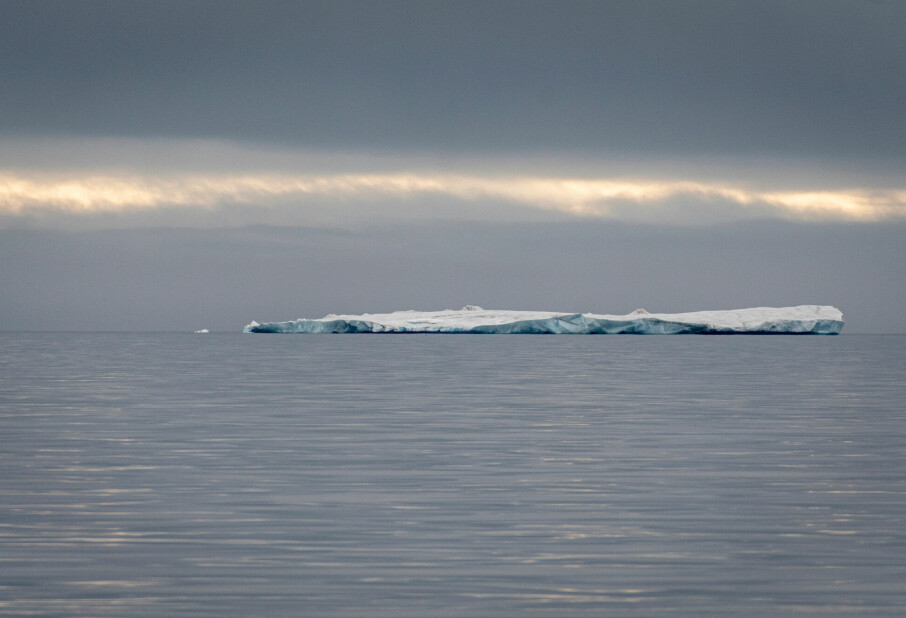
The ice was thickest 20,000 years ago, and it melted about 10,000 years ago.
“The land was depressed from the weight of the ice. When the ice retreated and became thinner, the land began to rise,” Solheim said.
The ice retreated inland from what was then the coast. The sea followed the ice front. When the heavy ice no longer depressed the land, the land rebounded little by little. When the land rose, large areas that had been seabed for a little while then became dry land.

Washes out the salt
The clay that was deposited on the seabed contained a lot of salt water. The structure of this kind of clay is stable as long as it continues to contain salt. But as the millennia pass, rainwater and groundwater wash out the salt. That’s what transforms clay into quick clay.
Anders Solheim compares what happens next to a house of cards. While a house of cards is full of air, the clay is full of water. When it becomes unstable, it collapses. This causes the clay minerals — which are flat — to float in their own pore water so that the whole mass becomes like a soup.
“This is why quick clay is found in Scandinavia and North America. These areas have been covered in ice, pushed down and have areas that were once seabed but that are now dry land. But not all seabed clay becomes quick clay. It depends on how much of the salt has been washed out,” he said.
100,000 people live in quick clay areas
The largest quick clay area in Norway is found on both sides of the Oslo Fjord and north of Romerike, which is the area where Gjerdrum is located. There is also a lot of quick clay in Trøndelag, in central Norway. It is also found all the way from Agder County, in southernmost Norway, to Finnmark County, at Norway’s northernmost tip. As recently as last year, eight houses were swept to sea in a landslide in Alta, in very northernmost Norway.
“More than 100,000 people in Norway live in areas that have been mapped as containing quick clay,” Solheim says.
The salt is washed out little by little, over hundreds if not thousands of years. Climate change will not make a difference in this process. Erosion from streams and rivers is the most common reason for quick clay landslides that are triggered naturally. However, a wetter climate with more frequent and larger floods could lead to more landslides.
Most large quick clay landslides are still triggered by humans. Excavation, landfilling and construction work are the biggest culprits.
Long-term safety work
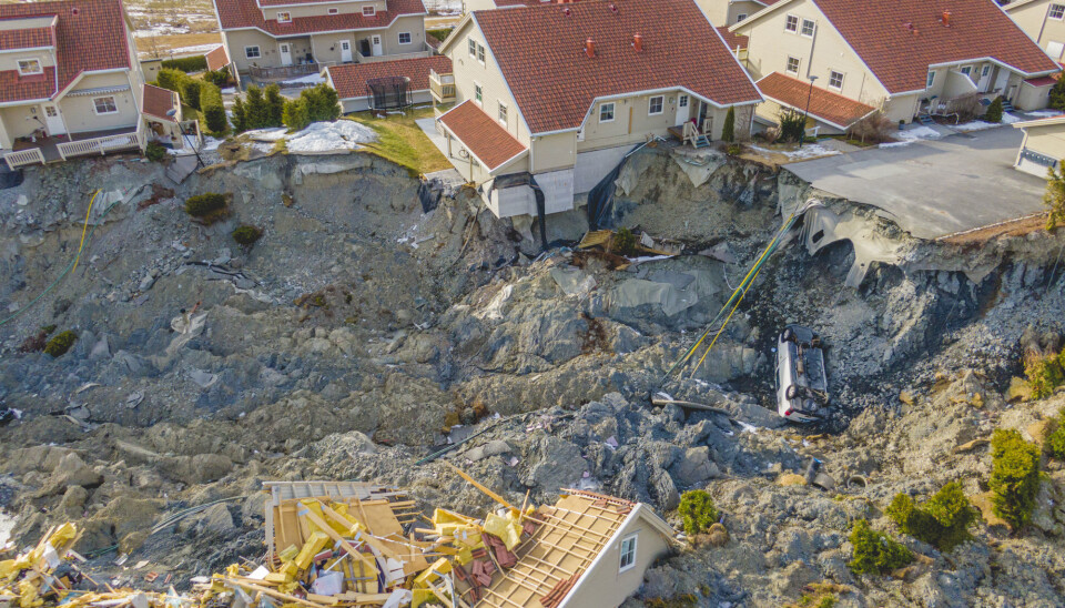
The follow-up after the landslide in Gjerdrum on 30 December will continue for at least the next year to year-and-a-half.
“What’s happening now is a lot of clearing work and a number of ground investigations. We are at the very beginning of this effort,” says Håkon Heyerdahl, who is division manager for snow and rockslides at NGI, the Norwegian Geotechnical Institute.
Eirik Traae, at the Norwegian Water Resources and Energy Directorate (NVE), works in the landslide and watercourse division. He can’t say much yet about the details of what needs to be done. The Norwegian Water Resources and Energy Directorate is responsible for the safety work in Gjerdrum.
“We have done ground investigations in the landslide area on several occasions. Now we are working on a new round to learn more about the landslide debris,” he says. “It’s important to find out how solid the landslide debris is and how it is divided into layers. With that knowledge in place, we can plan safety measures.”
Lime and cement
Some slopes will be levelled, while there will be backfill against other slopes.
“We’ll probably stabilize parts of the area with lime and cement. When these components are mixed with wet clay, it solidifies,” says Traae. He compares the finished solid mass to unreinforced concrete.
“That will provide some stronger areas that will increase the load-bearing capacity,” he says.
Currently, one- to one-and-a-half million cubic metres of landslide debris fill the area where the quick clay slid. The landslide is 2.7 kilometres long. The debris actually makes the slopes more stable.
“The valley floor has been raised by an average of five to ten metres. We primarily want to keep as much of the landslide debris as possible,” Traae says.
Translated by Nancy Bazilchuk.
Read the Norwegian version of this article on forskning.no.


